What's a Watershed?
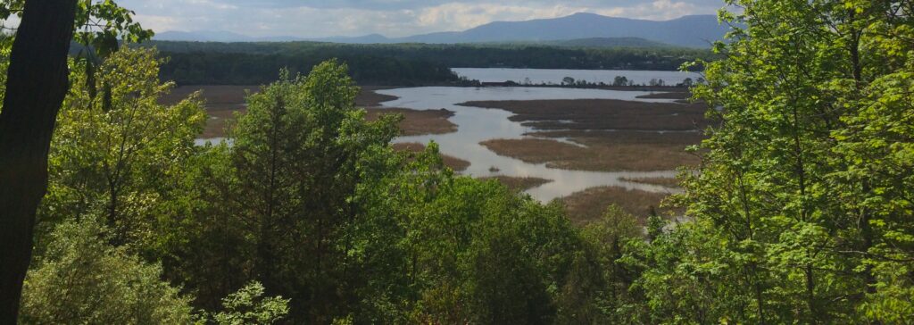
Whether you get your water from an individual well or a municipal system, all the water you drink comes from a watershed — the area of land that drains into a particular stream, river, or lake. Watersheds contain both land and water-based ecosystems (forests, fields, wetlands, ponds) as well as groundwater. To learn more about the Saw Kill Watershed and other nearby watersheds, CLICK HERE.
State of the Saw Kill
The SKWC has consolidated much of the information about the Saw Kill to produce three major reports which, together with water quality sampling information and other detailed data about the Saw Kill, are used as a watershed plan, serving as a guide to watershed protection. The State of the Saw Kill Overview contains basic information about the watershed and its streams, water quality, wetlands, habitat and characteristics. This information formed the basis for completing Riverkeeper’s Source Water Protection Scorecard for the Saw Kill. All of this information was used to produce detailed Recommendations for the Town of Red Hook regarding water quality protection, flood mitigation, and water supply. Click the icons below to read the reports:
History of the Saw Kill
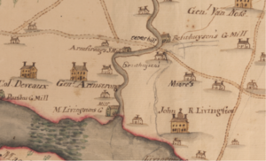
To learn about the history of the area’s Indigenous tribes, later landowners, artistic heritage, conservation efforts, and water quality sampling, CLICK HERE.
Watershed Maps
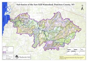
We have a wide variety of maps that outline various features of the Saw Kill Watershed. CLICK HERE to peruse them.
Recreation & Access
Coming Soon!
